National Park & Nature
Rangitoto Island
📍 Rangitoto Island, Auckland, New Zealand
No photos yet
4.6/ 5.0
★★★★★
Quick Facts
- Location
- New Zealand, Auckland
- Category
- National Park & Nature
- Duration
- Half day
- Ticket Price
- Ferry return about NZ$40
- Address
- Rangitoto Island, Auckland, New Zealand
- Coordinates
- -36.7900, 174.8600
Introduction
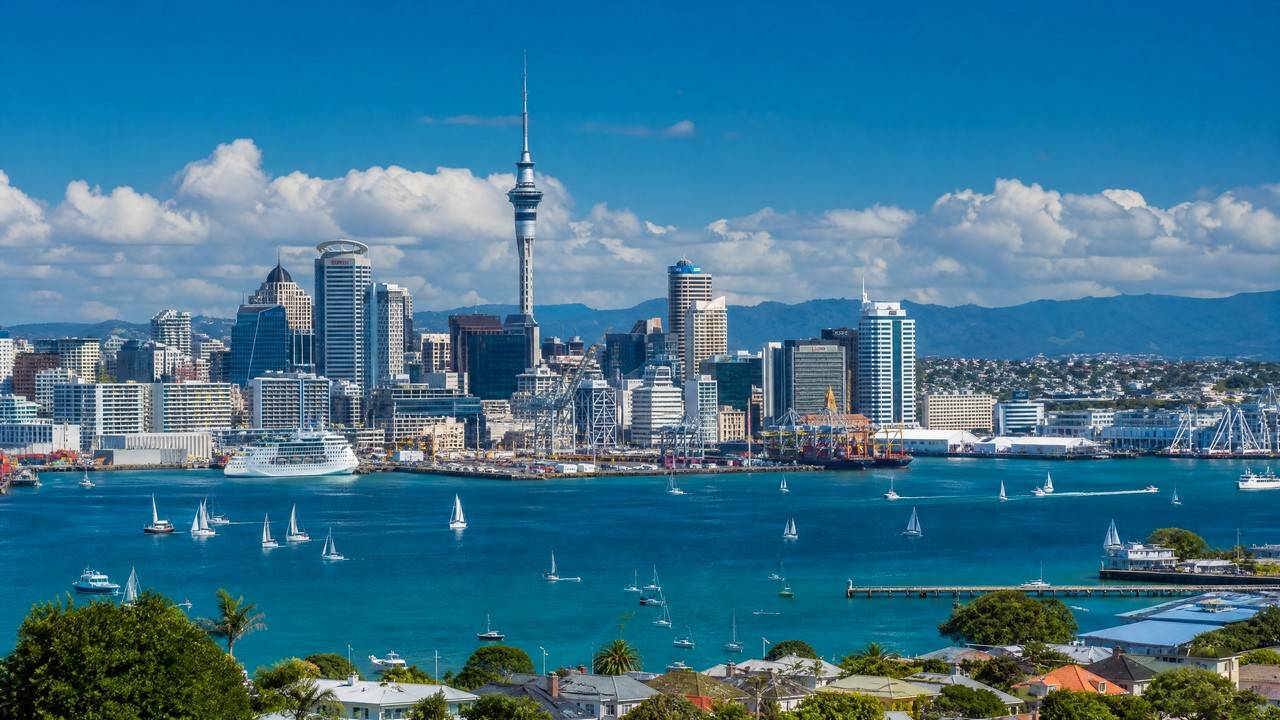
Rangitoto Island is Auckland Harbour's iconic symmetrical volcanic cone, born from eruptions about 600 years ago — the gulf's youngest landform. Black lava fields and pōhutukawa forest cover the island; from the wharf you can hike or ride the volcano tram to the summit for views across the gulf and city. Summer sightseeing cruises make it Auckland's classic island day trip.
✨ Highlights
1
Young volcano
A symmetric cone from eruptions 600 years ago.
2
Summit views
The top surveys the gulf and the whole city.
3
Lava landscape
Hike black lava fields and pōhutukawa groves.
🛈 Practical Info
→Location:Rangitoto Island, Auckland, New Zealand
→Time needed:4–6 hours
→Ticket Information:Ferry return about NZ$40
💡 Tips
• The summit hike is about 1.5 hours each way — carry water.
• No shops on the island — bring food.
• The volcano tram runs in summer to save energy.
FAQ
How much is the admission for Rangitoto Island?
Ferry return about NZ$40
Any practical tips for visiting Rangitoto Island?
The summit hike is about 1.5 hours each way — carry water. No shops on the island — bring food.
How long should I spend at Rangitoto Island?
A typical visit takes Half day.
Information compiled from public sources; opening hours and schedules may change, please verify with official sources.